Geospatial Engineering
Services
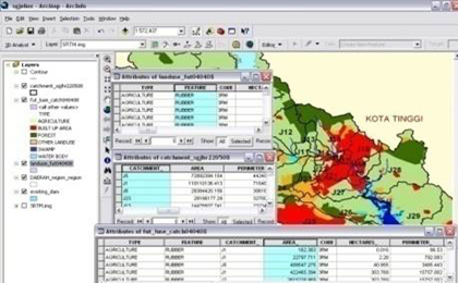
DNA integrates engineering experience with a solid understanding of GSE and application development technologies. DNA uses advance function of GIS to replace manual methods in creating and storing engineering data and keep it all in digital form. All these data will be linked to GIS database and can easily be retrieved when needed.
DNA has experience in providing accurate GIS data and analysis for Decision Support System, which allows for improved assessments of long-term planning and policy decisions, in addition to the major thrust of improving short-term and mid-term operations, scheduling and planning decisions.
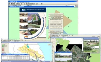
The success of any GIS is dependent on the quality of existing data. DNA has supported hundreds of Clients in their data creation, manipulation and integration. GIS in DNA provides customer focused solutions in the following specialty areas:
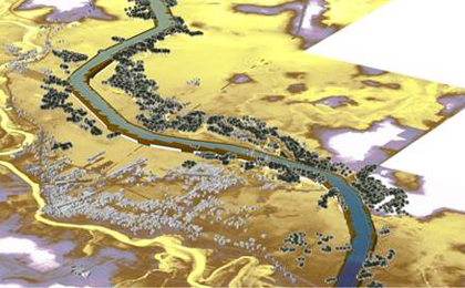
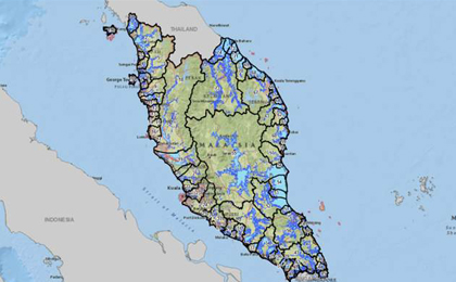
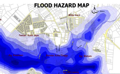
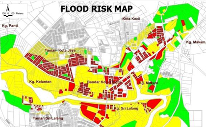
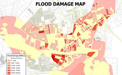
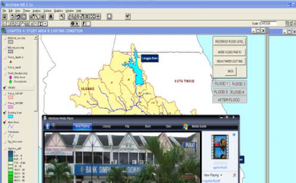
- Water Resources (River)
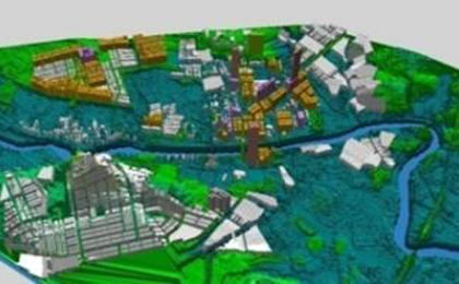
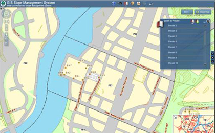
- Civil and Structure
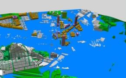
- Coastal Application
- Highway Management
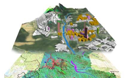
- Environmental