The Multimedia Super Corridor (MSC) Macro Drainage Master Plan Study, Cyberjaya, MALAYSIA
Due to the importance to avoid any frequent flooding within and surrounding areas of Multimedia Super Corridor (MSC), a thorough study was carried out in 1998 in order to formulate a master plan for the drainage system at these areas. The main objective of the study is to identify critical rivers that need immediate flood mitigation works and to provide drainage corridor reserves and flood levels for the development.
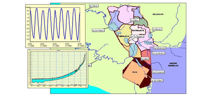
The scope of works involve the review of all existing drainage system in the MSC area and subsequently to carry out hydrological and hydraulic analysis to develop the required drainage system based on the projected development in the MSC. With the establishment on the needs for the drainage corridor and the proposed flood levels, all the developments within the MSC will use this information as a reference for the platform development and the necessary setback required for the drainage corridor. This is vital to prevent any future development from facing frequent flooding problems. Also being studied in the project are the sediment problems, mainly due to sand mining activities and also the environmental issues as well as the introduction of runoff control at source. Also addressed in the study is the neighbouring Paya Indah peat swamp forest which may be affected by the impact of development in MSC if not planned appropriately. Geographical Information System (GIS), with the capability of storing and analysing various spatial data has been used in this project. It was the first Jabatan Pengairan dan Saliran (JPS) Malaysia project to use GIS in study and analysis.
The project which has been allocated nine months period to study, was subsequently completed on time and the master plan is now being widely used as reference for the MSC development.
Page Links
Key Facts
Client
 Jabatan Pengairan dan Saliran (JPS) Malaysia