Spatial & Digital Services
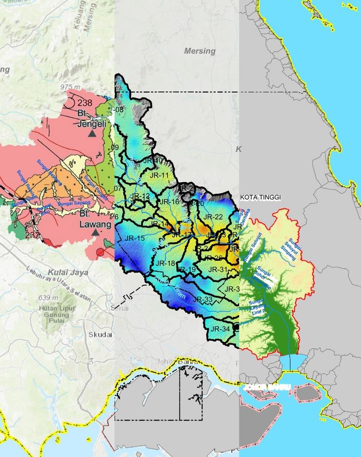
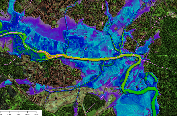
Dr. Nik & Associates (DNASB) integrates engineering experience with a solid understanding of Geographic Information System (GIS) and application development technologies. DNASB uses advanced GIS capabilities to replace manual methods in creating and storing engineering data, and storing in digital form. All the data will be linked to the GIS database and can easily be retrieved when needed.
DNASB is experienced in delivering accurate GIS data and analysis for Decision Support Systems. This enables improved assessments for long-term planning, policy formulation, and enhanced short- and mid-term operations.
The success of any GIS system depends on the quality of existing data. Our company has supported many clients in their data creation, manipulation and integration.
Vision Statement
Empowering Decisions Through Spatial Intelligence
SDD’s aim is to excel in the field of spatial and digital technology, transcending conventional mapping to deliver innovative solutions that drive informed decisions and strategic advancements.
Mission Statement
To deliver innovative spatial intelligence services and products that are aligned with evolving market needs by leveraging cutting-edge spatial and digital technologies, creating advanced solutions that empower data-driven decision-making, enhancing business efficiency and promoting sustainability.

